Topdealpier.uk
Fishing LIDAR Maps
This community website is regularly updated so click to refresh the page to see the latest content
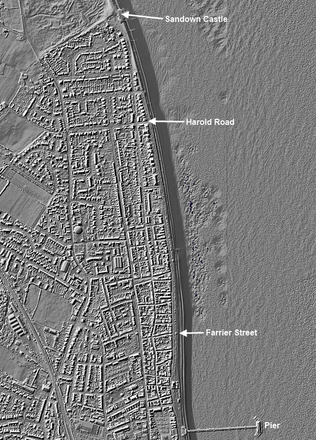
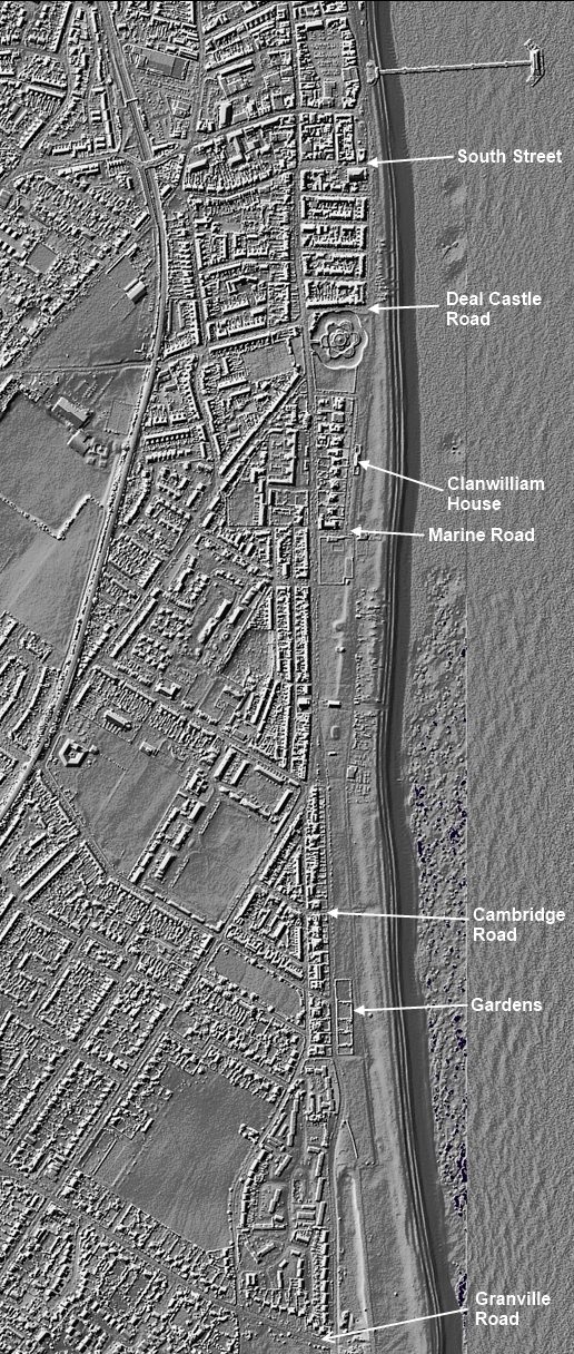
Lidar (also called LIDAR, LiDAR, and LADAR) is an acronym of Light Detection And Ranging (sometimes Light Imaging, Detection, And Ranging). Lidar is a surveying method that measures distance to a target by illuminating that target with a laser light and is popularly used to make high-resolution maps. The following three Lidar maps show the seabed either side of Deal Pier from Sandown Castle (remains) in the north to Granville Road in the south.
Map 1: Sandown Castle (remains) south to Deal Pier
Map 2: Harold Road south to Deal Castle Road
Map 3: Deal Pier south to Granville Road